ASPeCt encourages focussed, sustained field programmes, and provides standardized observing and data-recording protocols.

Observations of sea ice are a crucial aspect of the ASPeCt program. These observations serve as the foundation for constructing a climatology of sea ice, detailing its characteristics and variability over space and time.

Here's an overview of observation techniques used by ASPeCt.

Estimated thickness of overturned floes 

This technique focuses on estimating the thickness of floes tipped on their side by the ship's passage. Observers on the ship estimate the sea ice and snow cover thicknesses of 25 randomly selected overturned floes per hour. To ensure accuracy, a measuring stick is calibrated to sea level or a ship's buoy of known diameter is suspended approximately one metre above the sea surface. While estimates can be accurate to about 0.1m, limitations arise when floes don't turn sufficiently or are pushed aside instead of overturning. Additionally, there's a potential bias as heavily ridged floes often break apart and aren't measured, and floes in low concentration near the ice edge tend to be pushed aside rather than overturned.

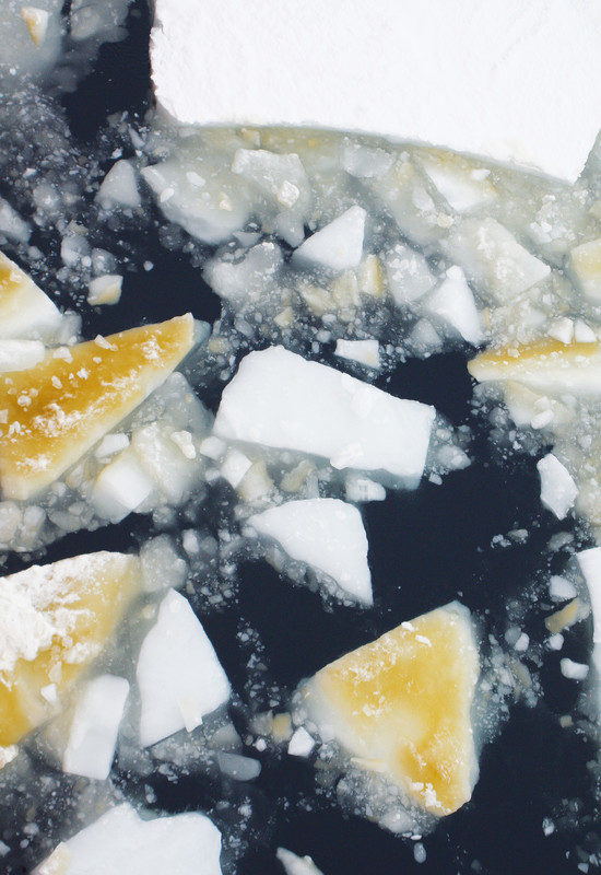
Algae on overturned floes of sea ice.
Algae on overturned sea ice. Colour code using chart in the sea-ice cards. Photo: Esmee van Wijk

In situ (direct) measurements of sea-ice thickness 

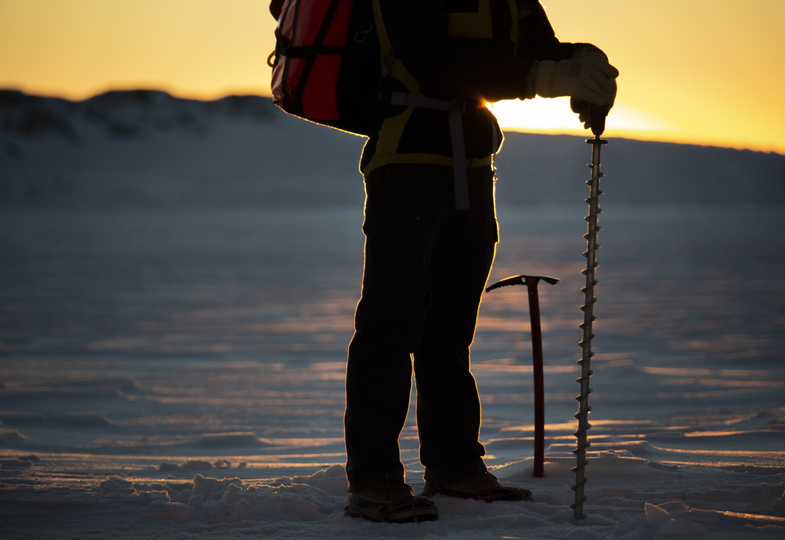
This method involves drilling through the sea ice, ideally along transects across floes, to directly measure its thickness. It also allows for snow cover thickness measurement and provides insights into the freeboard (height above sea level) and extent of flooding at the snow/ice interface. While considered accurate, this method is limited by the number of measurements possible and the inability to sample very thin, unconsolidated ice, or very thick, heavily ridged floes. See the link below for datasheets and details.

Taking sea-ice thickness measurements. Photo: Justin Chambers

Shipboard observation of ice categories

In this method, observers on the ship estimate ice thickness as well as ice concentration and other descriptors for the three most prevalent stages of development of sea ice within one nautical mile radius of the vessel. Observations are done hourly and recorded using a specific coding system. While individually less accurate, these visual estimations offer a broader picture of the ice cover. They are particularly useful for estimating thin ice thickness due to distinguishable albedo and provide a general estimate of ridged ice. See the link below for datasheets and details.

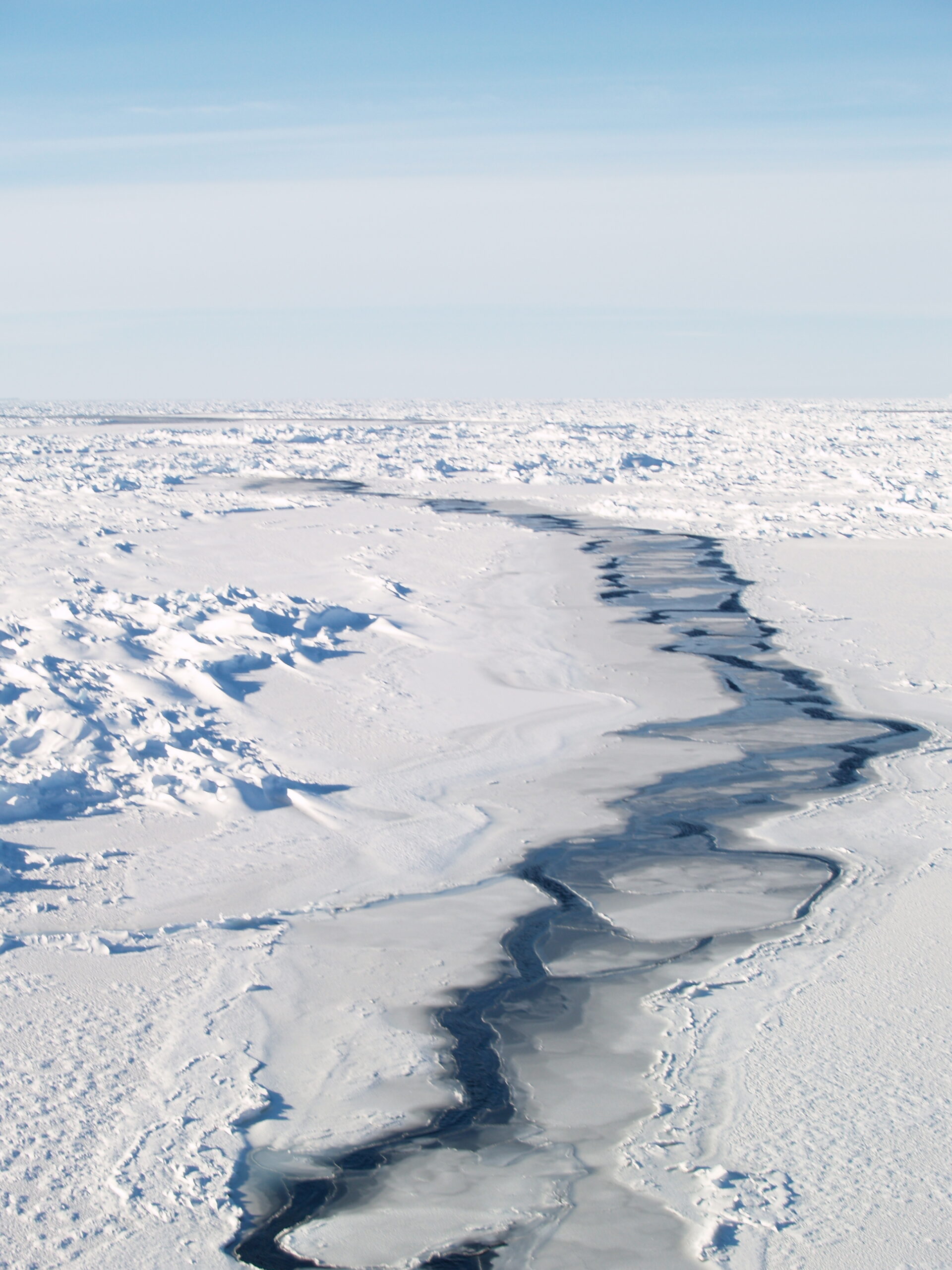
Open water lead through ridged first-year, snow-covered sea ice. The open water is freezing and rafting from nilas to grey ice.
Open water lead through ridged first-year, snow-covered sea ice. The open water is freezing and rafting from nilas to grey ice. Photo: Sandra Zicus

Recent innovations in shipboard sensors

This includes stereo images and RADAR and provides a new rationale for shipboard observations. Observation data is used to 'train' computer algorithms to correctly classify remotely sensed information. In this way, data can be collected and compiled by floating buoys or on ships without observers and contributes to understanding the inter-annual variation of sea-ice extent, decay, and ice thicknesses.

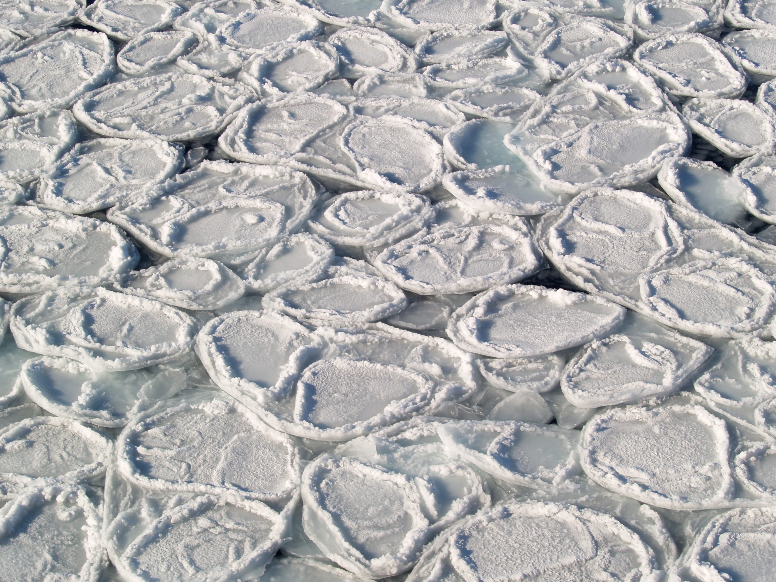
Pancake ice, flooded and rafted to young ice with light, wet snow cover.
Pancake ice, flooded and rafted to young ice with light, wet snow cover. Photo: Sandra Zicus

ASPeCt shipboard observation protocol and datasheets: Manual for sea-ice observations i.e., the standard approach for an observer visually estimating sea-ice and snow variables within a 1km radius of a ship. 

ASPeCt in situ measurement protocol and datasheets: Measurements along a transect including advice on sampling design, the selection of one or more transect lines and the measurements and records to be collected. 
SIPEX operations with 20 metre transect at ice station 6 with sledge mounted snow radar. Fifteen ice stations allowed the team to take a series of measurements to characterise the sea ice environment over the entire Antarctic sea ice zone.

Best Practices for sea-ice research: Coming soon. This manual is currently being developed by our best field scientists and will be posted here as soon as it has been endorsed.