Each winter, a vast area of sea ice forms on the ocean surface around Antarctica, significantly influencing the global climate system through its effects on ocean-atmosphere interactions. Sea ice acts as an insulating barrier, modifying heat and gas exchange, impacting ocean currents, and influencing the distribution of nutrients and salinity. Sea ice is also habitat for a diverse range of plant and animal species.
Sea ice forms from sea water when the ocean surface drops to -1.9 degrees celcius: As cold as sea water can be. Frazil crystals form first... separate crystals floating in the ocean surface. From afar, frazil crystals look like an oil slick. They coagulate to form grease ice.
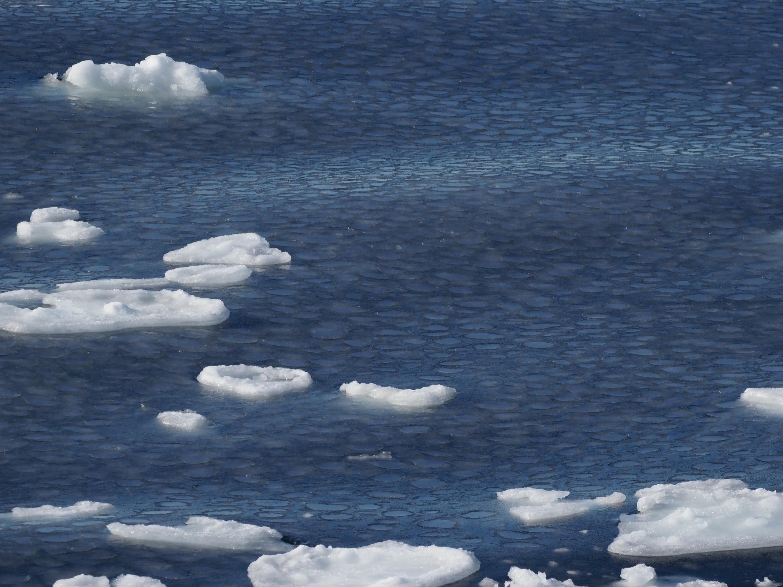
In calm conditions, frazil and grease ice consolidate to form nilas i.e., flexible sheets of ice up to 10 cm thick, prone to finger rafting. In rough conditions, frazil crystals coalesce into 'pancakes', growing through rafting and bonding into larger floes or a consolidated sea-ice cover.
Young ice (10-30 cm thick) usually thickens into first-year ice (>30 cm) by rafting and ridging. However, sea ice may also grow in thickness by congelation. Congelation is when sea water beneath the sea ice freezes because the ocean's heat is conducted through the ice.
Snow ice forms when snow overlaying sea ice floods and then refreezes. This is common where there is wave action or where the weight of a thick snow layer depresses the sea-ice surface, so that sea water floods the ice surface. Snow ice contributes significantly to the total volume of ice in the Southern Ocean.
Sea ice transcends being merely frozen water; it serves as a dynamic force with profound implications for global climate.
Boundary and Insulation: Sea ice acts as a formidable barrier, impeding gas and heat exchange between atmosphere and ocean.
Reflective Albedo: With its high albedo, sea ice reflects incoming solar radiation, influencing Earth's energy balance.
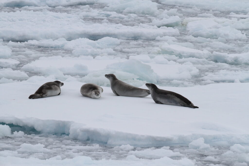
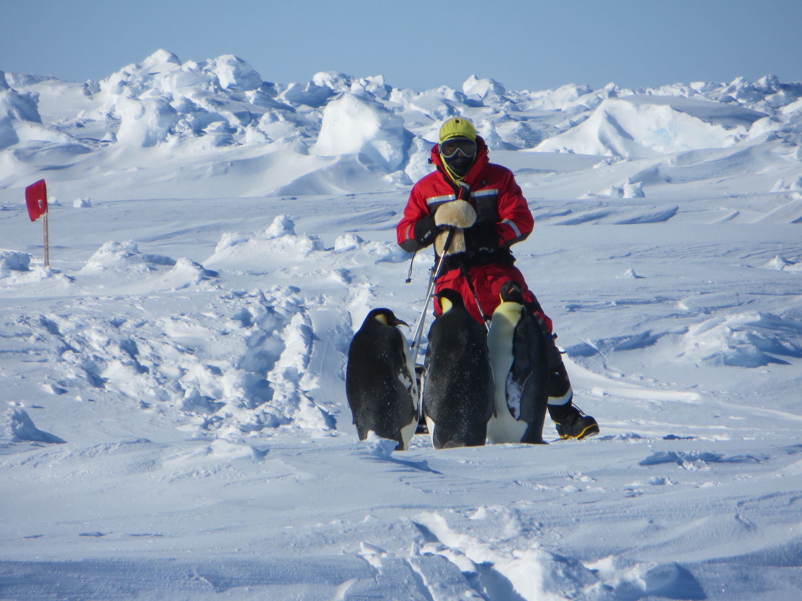
Ecological Significance: Sea ice is a crucial habitat teeming with diverse biota. Algal communities thrive within the ice, serving as food for krill. Seals and penguins rely on the sea ice surface for reproduction and survival.
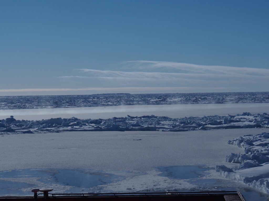
Antarctic pack-ice is shaped by atmosphere and ocean - a constantly changing interplay of wind and ocean currents. Especially in the Ross and Weddell Seas, cyclonic ocean currents influence drift and distribution. Weddell Sea pack extends further north, while East Antarctic pack is more localized. Even on a daily scale, the ice edge may shift tens of kilometers, responding to synoptic weather systems and wind directions.
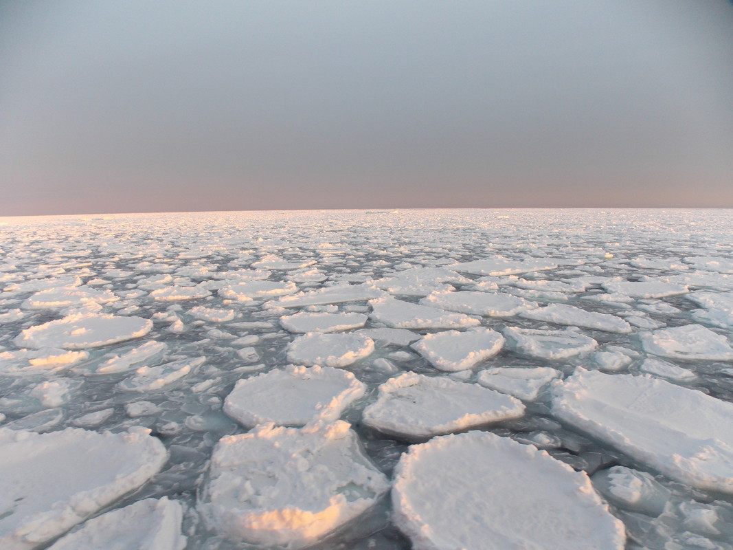
Unbound by landmasses, Antarctic pack ice displays remarkable mobility, a critical factor influencing sea ice thickness. Southern winds propel the sea ice northward, leading to the formation of open water areas where frazil ice rapidly accumulates. Katabatic winds sustain coastal polynyas, acting as prolific "ice factories" that substantially contribute to the overall mass of sea ice. Northern winds drive pack ice convergence, augmenting volume through processes like rafting and ridging. Low-pressure systems (storms) induce cycles of convergence and divergence by altering wind patterns. This interplay creates open water, facilitating the formation of new ice crystals, followed by rafting and ridging as the pack ice converges—essentially driving the growth of Antarctic sea ice.
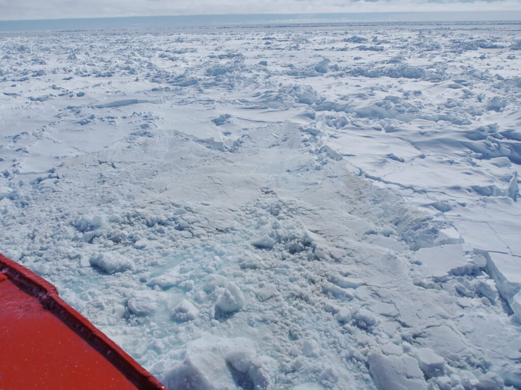
In the Antarctic, deformation processes such as ridging and rafting (rather than basal freezing) are mainly responsible for sea ice thickness increasing beyond 0.2-0.4 meters.
- Convergence: Collision of sea ice initiates the deformation dynamics.
- Rafting: In initial stages, sea ice rafts, doubling in thickness each time. In this way, nilas transforms into young ice, and small pancakes merge into larger floes.
- Ridging: If thickness exceeds 0.4-0.6 meters, further convergence results in breaking and stacking, thereby forming pressure ridges (and keels).
- Open water: Gaps in sea ice form when the ice diverges, and new ice grows in the open water thereby reshaping the sea ice thickness distribution and contributing to the overall mass (i.e., volume) of ice.
In the past, the icy expanse transformed seasonally from approximately 4 to 19 million square kilometers, an area surpassing the size of Antarctica itself. However, in 2016, the maximum winter extent of sea ice hit a record low, a trend that has persisted in subsequent years. Numerical models struggled to accurately replicate the observed extent of Antarctic sea ice. This discrepancy highlights the need to reassess and refine our understanding of the polar climate system, prompting a renewed investigation into the underlying drivers of this change.

This story is a concise version of the original ASPeCt website. That website has now been archived, but that description of sea ice has been preserved as the ASPeCt scrolling story.
Other sea-ice stories, infographics and video presentations are included as Additional material at . This includes up-to-date science-based explanations for the current state of Antarctic sea ice.
